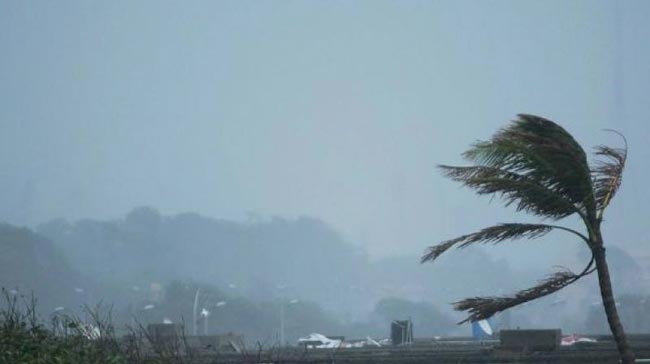
Cyclone Amphan may intensify; Showers of over 150 mm expected Met. Dept.
May 17, 2020 07:47 am
The deep depression over southeast Bay of Bengal and neighborhood has intensified into a Cyclonic storm ‘AMPHAN’ (pronounced as UM-PUN) and lay centered at 02.30 a.m. of today (17), about 610 km North-east of Trincomalee, warns the Department of Meteorology.
It is very likely to intensify further into a Severe Cyclonic Storm during the next 12 hours and a Very Severe Cyclonic Storm by May 18 morning, stated the Department issuing ‘Red’ alert on strong winds and rough sea.
The storm is very likely to move north-northwest wards initially until 17th and then re-curve north-northeastwards towards west Bengal coast from 18th to 20th May, said the Department.
This may cause the prevailing showery condition over the island, particularly in the south-western part, to continue further.
Very heavy showers above 150 mm are likely at some places, said the Meteorology Department. Wind speed can increase up to (50-60) kmph at times over the island. Cloudy skies can be expected over the island.
Showers or thundershowers will occur in Southern, Western, Sabaragamuwa and Central provinces with isolated very heavy showers exceeding 150mm.
Several spells of showers will occur in North-western province.
The general public is kindly requested to take adequate precautions to minimize damages caused by lightning activity during thundershowers.
SEA AREAS
Fishing and naval community are requested to be attentive regarding future forecasts issued with regard to the cyclonic situation arisen in the aforementioned areas.
Showers or thundershowers will occur at times in the sea areas around the island.
Heavy showers can be expected at some places in the sea areas extending from Pottuvil to Kankasanturai via Trincomalee.
Winds will be South-westerly in the sea area around the island. Wind speed will be (40-45) kmph. Wind speed can increase up to 60 kmph at times in the sea area extending from Puttalam to Pottuvil via Galle and Hambantota.
The sea areas around the island can be fairly rough and the sea area extending from Puttalam Pottuvil to via Galle and Hambantota will be rough to very rough at times.
Temporarily strong gusty winds (up to 70-80 kmph) and very rough seas can be expected during thundershowers.


