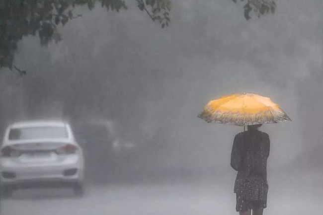


Prevailing heavy rain weather in the southwestern part of the island is expected to gradually reduce from today (05), the Department of Meteorology says.
Showers will occur at times in Western, Sabaragamuwa, and Central provinces and in Galle and Matara districts.
Fairly heavy rainfalls above 50 mm can be expected at some places in Sabaragamuwa province and in Kandy, Nuwara-Eliya, Galle and Matara districts.
Several spells of showers may occur in Northern, North-Central and North-western provinces.
Strong winds of about 50 kmph can be expected at times along the western slopes of the Central hills and in the Northern, North-central and North-western provinces.
Sea areas:
Prevailing strong windy condition in the western and southern sea areas are expected reduced gradually from tomorrow (06th July).
Showers or thundershowers will occur at several places in sea areas around the Island.
Winds will be westerly to south-westerly and wind speed will be 30-40 kmph. Wind speed can increase up to 60-70 kmph in the sea areas off the coast extending from Puttalam to Pottuvil via Colombo, Galle and Hambantota. Wind speed can increase up to 50-60 kmph in the sea areas off the coast extending from Puttalam to Batticaloa via Mannar, Kankesanturai and Trincomalee.
The sea areas off the coast extending from Mannar to Pottuvil via Puttalam, Colombo, Galle and Hambantota will be very rough at times. The sea areas off the coast extending Puttalam to Batticaloa via Mannar, Kankesanturai and Trincomalee will be rough at times. The other sea areas around the island will be moderate.
There is a possibility to increase swell waves of about 2.5 m – 3.5 m in the sea areas off the coast extending from Mannar to Pottuvil via Puttalam, Colombo, Galle and Hambantota.
Therefore, it is advised not to venture into fishing and naval activities in the sea areas off the coast extending from Mannar to Pottuvil via Puttalam, Colombo, Galle and Hambantota during next 24 hours.