Earthquake of magnitude 6.3 jolts south of Fiji Islands
April 14, 2025 09:56 am
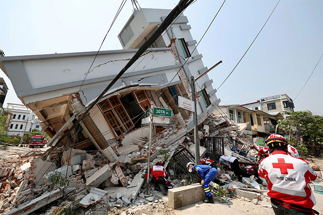
An earthquake of magnitude 6.3 on the Richter Scale struck South of the Fiji Islands on Monday, a statement by India’s National Center for Seismology (NCS) said.
As per the NCS, the earthquake occurred at a depth of 10km, making it susceptible to aftershocks.
In a post on X, the NCS said, “EQ of M: 6.3, On: 14/04/2025 01:32:52 IST, Lat: 25.87 S, Long: 178.18 W, Depth: 10 Km, Location: South of Fiji Islands.”
Shallow earthquakes are more dangerous than deeper ones due to their greater energy release closer to the Earth’s surface, causing stronger ground shaking and increased damage to structures and casualties, compared to deeper earthquakes, which lose energy as they travel to the surface.
The south of the Fiji Islands is known to be earthquake-prone, as evidenced by recent seismic activity and historical records.
This region is located within the Fiji Seismic Zone, an area known for frequent earthquakes.
Fiji is situated within the Circum-Pacific Seismic Belt, commonly known as the “Ring of Fire” which is a region of high seismic activity. This zone experiences numerous earthquakes, including some of significant magnitude.
The belt exists along boundaries of tectonic plates, where plates of mostly oceanic crust are sinking (or subducting) beneath another plate. Earthquakes in these subduction zones are caused by slip between plates and rupture within plates.
Fiji has a history of earthquakes, with some causing substantial damage and disruption. The Mineral Resources Department (MRD) of Fiji documents various earthquakes and their impacts, highlighting the ongoing seismic risk in the region.
The Republic of Fiji and, in particular, its capital city of Suva are considered to be very vulnerable. Indeed, recent history attests to this, with the memory of the devastating September 14, 1953 Suva earthquake (Richter Magnitude ML 6.5) and its associated tsunami. (ANI)
--Agencies