File Photo.
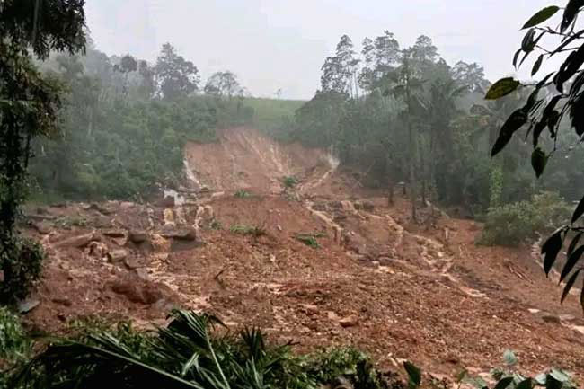
68% of Badulla District identified as landslide-risk areas: NBRO
December 24, 2025 09:34 pm
The National Building Research Organization (NBRO) has stated that nearly 68% of the total land area in the Badulla District is at varying levels of landslide risk.
Badulla District Geologist Harshani Perera stated that 368 major landslides were reported across the district during the recent period of adverse weather conditions.
She further noted that as a result of these landslides, approximately 650 housing units have been identified as being at high risk areas.