








The Department of Meteorology has urged multi-day fishing vessels and the naval community to avoid fishing and naval activities in specified sea areas of the Bay of Bengal until further notice, amid the threat of a developing cyclonic system.
The warning applies to sea areas between 10°N and 20°N latitude and 80°E and 95°E longitude.
Those already operating in these areas have been instructed to move to safer sea areas immediately.
The fishing and naval communities have also been urged to closely monitor future weather forecasts and advisories issued by the Department of Meteorology.
Meanwhile, a low-pressure area near the North Andaman Islands in the Bay of Bengal has developed into a depression.
The system is highly likely to intensify into a deep depression today (25) as it moves across the east-central Bay of Bengal and adjoining southeastern sea areas.
It is further expected to move west-northwestward, with a high probability of developing into a cyclonic storm by tomorrow morning (26) and a severe cyclonic storm over the west-central Bay of Bengal on October 27.
Meanwhile, showers or thundershowers are possible at several locations in the seas around Sri Lanka, according to the Department of Meteorology.
Southwesterly winds are expected to blow at speeds of around 30–40 kmph. Wind speeds in sea areas extending from Trincomalee to Pottuvil, via Kankesanthurai, Puttalam, Colombo, Galle and Hambantota, may occasionally increase to 50–60 kmph according to the Met. Department.
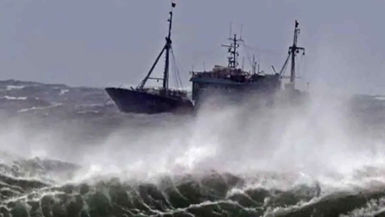
These sea areas may become rough at times, while other sea areas around the island may be fairly rough.
Wave heights in sea areas off the coast from Puttalam to Pottuvil, via Colombo, Galle and Matara, may reach approximately 2.0–2.5 metres.
The Met. Department further warns that temporary strong winds of around 60–70 kmph may occur during thundershowers, causing the sea to become very rough temporarily.