






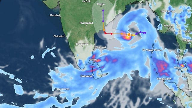


Cyclonic Storm ‘Arnab’, which has intensified over the east-central and adjoining southeast Bay of Bengal, is expected to strengthen further before making landfall on the Indian coast near Andhra Pradesh on October 28, according to the Department of Meteorology.
The storm was centred near latitude 15.4°N and longitude 88.5°E at 8.30 a.m. today (26), approximately 1,100 kilometres northeast of Kankesanthurai, after moving westwards.
The system is predicted to move west-northwestwards and intensify into a severe cyclonic storm over the west-central Bay of Bengal by 5.30 p.m. today. It is expected to strengthen further into a very severe cyclonic storm tomorrow, before making landfall along the Andhra Pradesh coast at around 11.30 a.m. on October 28.
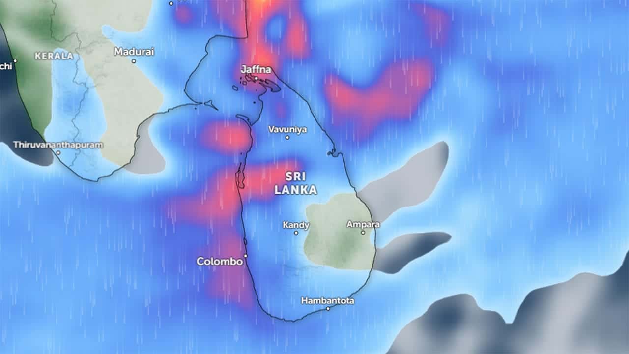
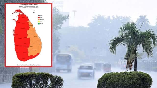
Although the cyclone is not expected to directly affect Sri Lanka, an increase in rainfall is forecast over the southwestern parts of the island during the next few days due to wind flows associated with the system.
Showers or thundershowers are expected at times in the Northern, Western, Sabaragamuwa, Southern, North-Western, Central and North-Central provinces and in the Trincomalee District. Fairly heavy rainfall exceeding 75 mm is likely at some locations in these areas.
Showers or thundershowers may occur in other parts of the country after 1 p.m.
Meanwhile, strong winds reaching speeds of 40–50 kilometres per hour are expected at times over the western slopes of the Central Hills, the Northern, North-Central and North-Western provinces, and the Trincomalee and Hambantota districts.
The general public has been urged to take necessary precautions to minimise possible damage caused by temporary, localised strong winds and lightning during thundershowers.
Authorities and residents are advised to remain alert to further weather updates as the cyclone continues to intensify over the Bay of Bengal.