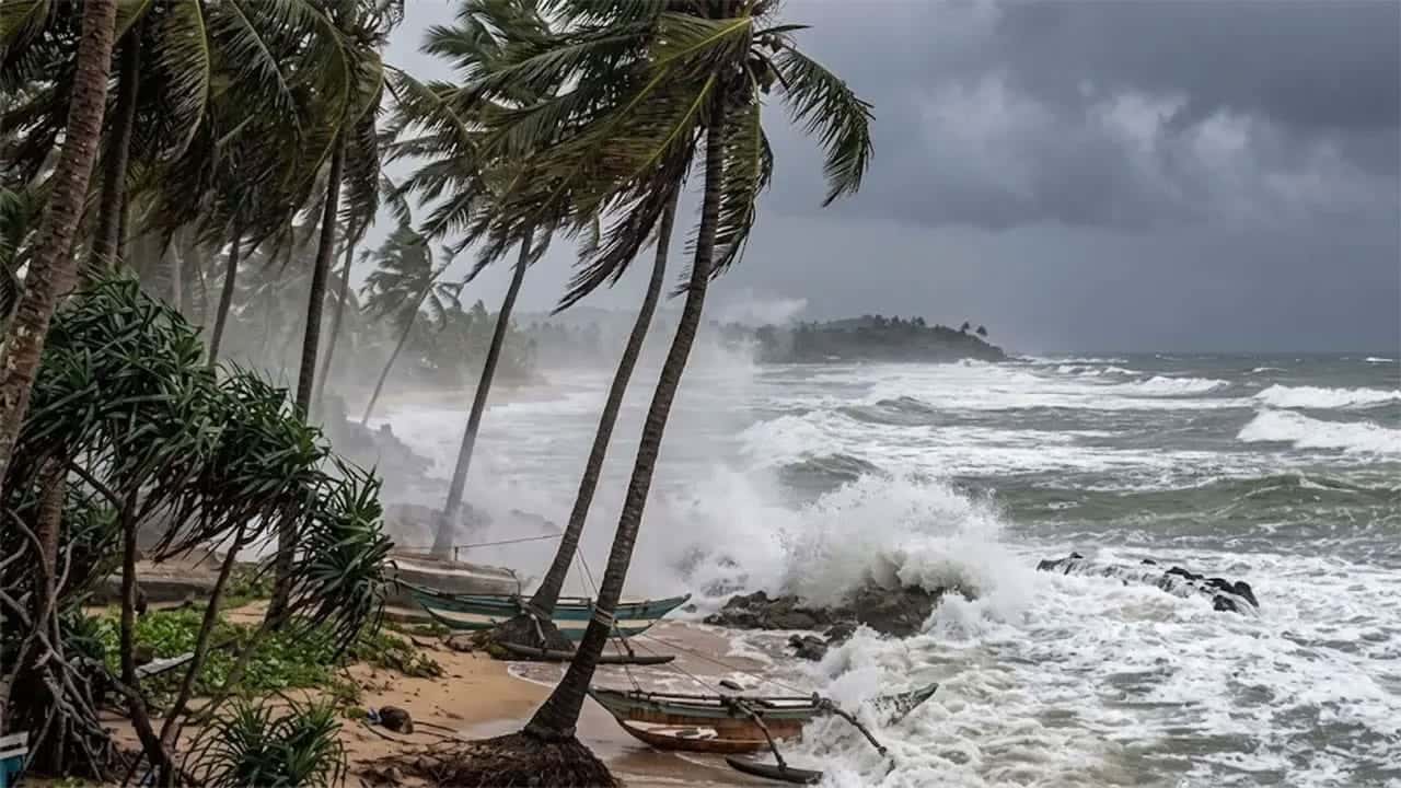









The Department of Meteorology has issued a red-level warning for strong winds and rough seas, cautioning naval and fishing communities against venturing into several deep-sea areas due to the intensification of Cyclone Murasu over the Bay of Bengal.
The warning was issued by the Natural Hazards Early Warning Centre at 3.00 p.m. today (November 1) and will remain valid for the next 24 hours.
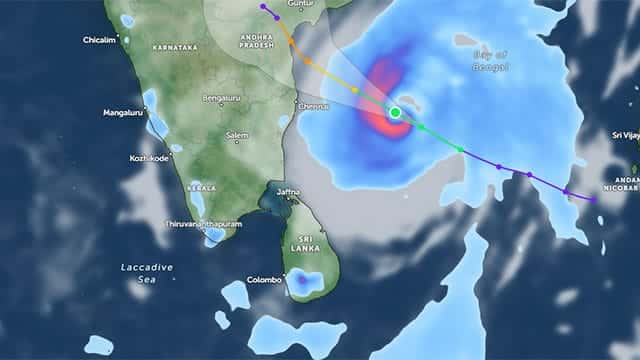
According to the Met. Department, the deep depression over the Southeast Bay of Bengal has intensified into a cyclone and has been named ‘Murasu’.
The system was located near latitude 12.1°N and longitude 85.3°E at 11.30 a.m. today.
Cyclone Murasu is very likely to move west-northwestwards and further intensify into a severe cyclonic storm over the West-central Bay of Bengal by tomorrow morning (02).
Thereafter, the system is expected to move northwestwards and cross the Andhra Pradesh coast of India as a severe cyclonic storm between midnight on November 2 and the early hours of November 3.
The Department warned that wind speeds in the sea areas identified under the warning category could increase to between 70 and 80 kmph at times, accompanied by heavy thundershowers and very rough sea conditions.
Accordingly, naval and fishing communities have been strongly advised not to venture into the deep-sea areas bounded by 10°N–15°N and 80°E–90°E until further notice.
Those currently operating in the affected areas have been advised to move to safer locations, the Met. Department said.
The warning also specifically advises against venturing into deep-sea areas extending from Mannar to Trincomalee via Kankesanthurai until further notice.
Naval and fishing communities operating in these areas have been urged to remain vigilant and closely monitor future weather forecasts and advisories issued by the Department of Meteorology.