





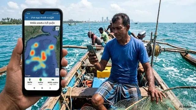


The Executive Director of the Institute of Ocean Resources Analysis (INORA), Ayesh Indranath Ranawaka has issued a statement clarifying the technology behind the ‘Fish App’ mobile application, which has recently become a topic of discussion within Sri Lanka’s fisheries sector and political scene.
In his statement, Director Ranawaka pointed out that there is currently no technology anywhere in the world that can directly identify areas of high fish concentrations across the ocean.
He explained that fish finders installed on fishing vessels can only detect fish within a limited area and depth surrounding the vessel.
Technology Used to Identify Potential Fishing Grounds
According to Ranawaka, several advanced technologies, including satellite-based systems, are used to predict areas where fish populations may be concentrated.
These include:
Satellite Data Analysis: Sea Surface Temperature (SST) and chlorophyll concentration data can help identify areas where smaller fish and larger predatory fish are likely to be found.
Ocean Currents and Wave Height: Analysis of ocean currents and surface wave heights can help predict potential fishing grounds and fish migration patterns.
Night-time Satellite Imagery: VIIRS satellite imagery can be used to monitor fishing vessels operating at night and identify areas with increased fishing activity.
Vessel Monitoring Systems: Vessel Monitoring Systems (VMS) and Automatic Identification Systems (AIS) can track vessel movements and identify areas where fishing vessels gather, providing useful information to fishermen.
He noted that implementing such a system would require coordination among several institutions, including the National Aquatic Resources Research and Development Agency (NARA), the Department of Fisheries, the Navy and the Coast Guard.
He further described the process as a complex and costly undertaking.
Limitations of the Existing ‘Fish App’
Ranawaka stated that a mobile application was developed in 2020 at an estimated cost of around Rs. 100 million, primarily to provide weather information and location identification during emergencies.
He explained that fish population data initially collected by NARA from around 2008/2009 began being made available to fishermen through the application in 2025.
However, the application has limitations in offshore areas due to the loss of GSM mobile signals when fishing vessels travel approximately 20 to 25 nautical miles away from the coastline.
As a result, its communication capabilities remain largely limited to vessels operating closer to shore.
INORA's Previous Proposals and Future Plans
Ranawaka also recalled that a similar application had been proposed to the Ministry of Fisheries in 2018. However, he claimed that bureaucratic obstacles and political interference at the time prevented the proposal from being implemented.
Meanwhile, following eight years of research, INORA has developed a digital auction platform under the name ‘Blue Biz Lanka’, which is currently at the research stage.
The initiative aims to connect fishermen with international companies and buyers through a digital marketplace.
Under the proposed system, buyers would compete to purchase fish catches, enabling fishermen to obtain more competitive and higher prices for their products.
Ranawaka expressed confidence that INORA has the research experience and technical expertise required to successfully develop and implement modern digital applications of this nature.
He said the institute would be in a position to successfully carry out the proposed project if it receives the necessary support and sponsorship.