





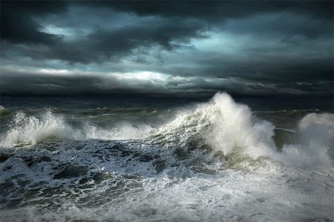



The Department of Meteorology has issued an advisory for strong winds and rough seas, effective for the next 24 hours from 3.00 p.m. today (May 07).
A low-level atmospheric disturbance which was developed over the Southeast Bay of Bengal area will gradually develop into a low-pressure area and then into a cyclonic storm in the next few days, the Department of Meteorology says.
Wind speeds will be 40-50 kmph and can increase up to 60 kmph in sea areas between (05N - 10N) and between (90E – 100E).
Meanwhile, the wind speeds will be 50-60 kmph and can increase up to 70 kmph in sea areas between (01N - 04N) and between (85E – 92E) due to wind convergence in this sea area, according to Met. Department.
Heavy showers or thundershowers and very rough seas can also be expected in above-sea areas, it added.
Therefore, the naval and fishing communities are advised not to venture into the sea areas bounded by (05N - 10N) and between (90E – 100E) and (01N - 04N) and between (85E – 92E) during the next few days.
Those who are out at aforementioned sea regions are advised to return to coasts or moved to safer areas immediately, the Met. Department said.
The fishing and naval community are requested to be attentive to future forecasts issued by the Department of Meteorology in this regard.