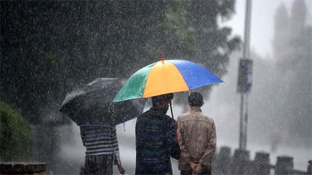









The Department of Meteorology says that thundershowers will develop at several places in the Western, North-western, Southern, Central, Sabaragamuwa and Uva provinces during the afternoon or night.
There may be temporary localized strong winds during thundershowers, is said while urging the public to take adequate precautions to minimize the damages caused by lightning activities.
The Met Department also said that there will be showers or thundershowers at several places in the deep sea areas off the south-western coast and at a few places in the sea areas off the Northern and Eastern coasts.
Showers or thundershowers will develop at several places elsewhere in the sea areas around the island particularly during the afternoon or night.
Winds will be Northerly or variable direction and speed will be 20-40kmph. The speed may increase up to 50-60kmph in the deep sea areas off the south-western coast, the department said.
The deep sea areas off the south-western coast will be rough at times and other sea areas around the island will not be generally rough, but it may be rough with temporary localized strong winds during thundershowers.
Meanwhile Indian media today reported that the severe cyclonic storm ‘Lehar’ remained practically stationary over south-east Bay of Bengal on Monday afternoon.
A leading US-based storm tracker suspects India’s south-east coast may not yet have seen the last storm of the ongoing North-East monsoon season.
It projects a scenario where the warm seas in the south-east Bay of Bengal, which link Sumatra (Indonesia) and Sri Lanka, spinning up the next storm.
The forecaster expected a preparatory buzz to in the seas to build from Friday and grow louder into the next week.
Initial forecasts suggest that the likely storm from Thiruvananthapuram heading towards northern most Sri Lanka and adjoining south-east Tamil Nadu coast.