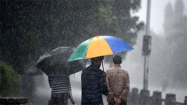








The Met Department says that the low pressure area still persists South East of Sri Lanka and that under its influence showers or thundershowers will occur at times in the Eastern, Northern, North Central and Uva provinces.
Thundershowers will develop at most places elsewhere particularly during the afternoon or night while heavy falls (more than 100mm) are also likely at some places.
Windy conditions are also expected to continue over the country (particularly eastern slopes of the central hills) and the suburb sea areas, a severe weather advisory issued by Early Warning Centre of the Department of Meteorology said.
Intermittent showers or thundershowers will occur over sea areas off the coast extending from Galle to Jaffna via Batticaloa. Winds will be mainly North-easterly (but rotating anticlockwise) and speed will be 30-50kmph.
The winds can be strengthening up to 70kmph at times off the coast extending from Galle to Jaffna via Batticaloa and winds speed may be strengthening up to 80kmph during thundershowers. Winds speed over the other sea areas around the island can also be strengthening up to 60 kmph at times.
The sea areas off the coast extending from Galle to Jaffna via Batticaloa will be very rough and dangerous and other sea areas around the Island will be rough at times.
Meanwhile AccuWeather reports that a low pressure in the Bay of Bengal will spin near Sri Lanka and southeastern India into this weekend, bringing rounds of heavy rain to the island.
“AccuWeather.com meteorologists have been monitoring this storm’s development over the past few days. There is still a chance that this system could develop into an organized tropical cyclone as it begins to lift northward away from Sri Lanka late this week.”
“However, even before potentially becoming an organized tropical cyclone this storm will bring heavy rains for Sri Lanka through Saturday. The nearly unmoving storm will bring round after round of rain, leading to significant rainfall,” the report said.