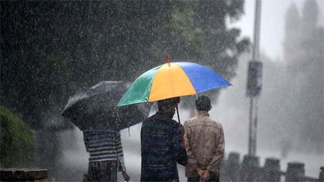









The Department of Meteorology says a low pressure area has formed over south east Bay of Bengal and adjoining south Andaman sea area while it is likely to intensify further and move north-westwards.
Wind speed can be increase up to (40-50) kmph at times over the island. Showers or thundershowers will occur in Southern, Western, Sabaragamuwa and Central provinces, it said.
Showers or thundershowers will occur elsewhere particularly in Uva and Eastern provinces in the evening or night.
Heavy rainfall above 100 mm can be expected at some places in Western, Sabaragamuwa and Central provinces and in Galle and Matara districts.
General public is kindly requested to take adequate precautions to minimize damages caused by lightning activity and localized strong winds during thundershowers.
Sea Area:
Fishing and naval community operating in the deep sea areas are requested to be attentive regarding future forecasts issued regarding the low pressure area.
Showers or thundershowers will occur at times in the sea areas around the island. Heavy showers can be expected at some places in the sea areas extending from Colombo to Batticaloa via Galle and Hambanthota.
Winds will be Westerly or South-westerly in the sea area extending from Puttalam to Potuvil via Colombo, Galle and Hambantota and winds will be North-westerly in the other sea areas around the island. Wind speed will be (40-45) kmph.
Wind speed can be increase up to 60 kmph at times in the sea area extending from Galle to Pottuvil via Hambantota.
The sea areas around the island can be fairly rough and the sea area extending from Galle to Pottuvil via Hambantota will be very rough at times.
Temporarily strong gusty winds (up to 70-80 kmph) and rough seas can be expected during thundershowers.
Naval and fishing communities are requested to be vigilant in this regards, the department said.