








The Department of Meteorology, issuing a weather advisory, said that the low-pressure area over the south-east Bay of Bengal has developed into a depression and laid centred at 05.30 a.m. today near latitude 10.4°N and longitude 87.0°E, about 670 km North-east of Trincomalee.
It is very likely to intensify rapidly into a cyclonic storm today (16) and further into a severe cyclonic storm during the subsequent 24 hours.
It is very likely to move north and north-westward initially till 17th and then re-curve north and north-eastward towards west Bengal coast during 18th to 20th May, the Meteorology Department said further.
Sea areas:
Under the influence of the system, the possibility of heavy showers or thundershowers and sudden roughness, associated with a sudden increase of wind speed up to 60-70kmph is high in sallow deep sea areas around the island during next 24 hours.
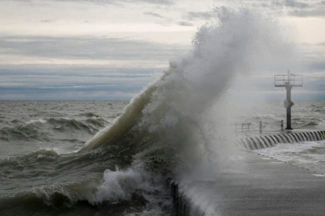
There is a possibility that nearshore sea areas off the coast extending from Mannar to Pottuvil via Colombo, Galle and Hambantota may experience surges due to the effect of swell waves, having (2.0-2.5) m height.
Naval and fishing communities are advised not to venture into the shallow and deep sea areas around the island until further notice.
Land areas:
Very heavy falls above 150 mm can be expected at some places in Western, Sabaragamuwa, Southern, Central and Eastern provinces.
The wind speed can be increased up to (40 -50)kmph at times over the island.
People living in hill areas (particularly landslide-prone areas) are requested to be vigilant.