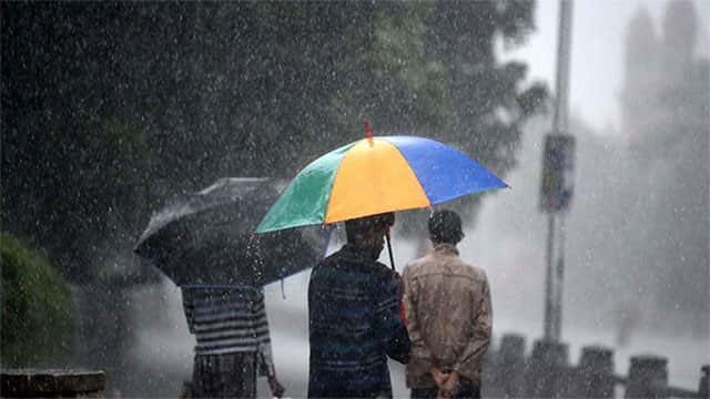









The showery condition over South-western part (Western, Sabaragamuwa, Central and Southern provinces) of the island and the windy condition over the island are likely to enhance during next few days, the Meteorology Department says.
Showers or thundershowers will occur at times in Western, Sabaragamuwa, Central and North-western provinces and in Galle and Matara districts.
Fairly heavy rainfalls about 75 mm can be expected at some places in Western and Sabaragamuwa provinces and in Galle, Matara and Puttalam districts.
Showers or thundershowers will occur at a few places in Eastern and Uva provinces during the evening or night.
Wind speed can increase up to (40-50) kmph at times in Western slope of the Central hills, Northern, North-central and North-western provinces and in Hambantota district.
Sea areas:
A low-pressure area is very likely to form over North Andaman sea and adjoining east central Bay of Bengal around May 22. It is likely to intensify into a depression around 23rd.
The system is very likely to intensify into a cyclonic storm by May 24. It is very likely to move north-westwards and reach near Odisha – West Bengal coasts around 26th May morning.
Naval and fishing communities are advised not to venture into the East Central Bay of Bengal and adjoining area (12N-20N, 85E-100E) from today (21 May) until further notice.
Showers may occur at several places in the sea areas extending from Mannar to Galle via Colombo. Showers or thundershowers will occur at few places in the other sea areas around the island in the evening or night.
Winds will be south-westerly in the sea areas around the island. Wind speed will be (35-45) kmph in the sea area extending from Kankesanturai to Chilaw via Mannar. Wind speed will be (20-40) kmph in the other sea areas around the island.
Wind speed can increase up to (50-60) kmph in the sea area extending from Galle to Pottuvil via Hambantota and in the sea area extending from Chilaw to Kankesanturai via Puttalam and Mannar.
The sea area extending from Kankesanturai to Chilaw via Mannar and the sea area extending from Galle to Pottuvil via Hambantota can be rough at times. The other sea area can be fairly rough.
Temporarily strong gusty winds and very rough seas can be expected during thundershowers.