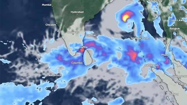







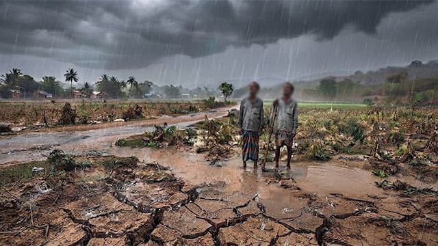


Heavy rainfall is expected today (04) and tomorrow (05) in Monaragala, Ampara, Badulla, Batticaloa and several other areas in the Eastern Province, which have experienced severe dry weather in recent months, according to the Department of Meteorology.
Director General of Meteorology Ajith Wijemanna said the country is expected to receive normal rainfall from around the latter part of September.
He also noted that, according to a report issued yesterday (04) by the World Meteorological Organization, the prevailing El Niño conditions are gradually strengthening.
The El Niño phenomenon is expected to reach a strong level by October and November, which could result in significant changes to Sri Lanka’s normal rainfall patterns, Wijemanna said.
He further said daytime and nighttime temperatures are expected to rise considerably in December due to these conditions.
Meanwhile, rainfall is expected to decrease significantly in February, March and April next year, potentially resulting in another period of severe hot weather conditions across the island, he added.
The Department of Meteorology said showers or thundershowers may occur at several places in the Uva, Central and Eastern provinces, as well as in the Polonnaruwa and Mullaitivu districts, after 2.00 p.m. today.
Some areas may experience fairly heavy rainfall exceeding 75 mm.
Several spells of showers are also expected in the Western and Sabaragamuwa provinces and in the Galle and Matara districts.
The Department further stated that, as the Sun moves southward, it will be directly overhead at latitudes close to Sri Lanka from August 28 to September 07, 2026.
The Sun is expected to be directly overhead, tomorrow, at 12:08 p.m. in Moratuwa, Kesbewa, Polgasowita, Handapangoda, Sri Palabaddala, Bogawantalawa, Idalgashinna, Yudhaganava, Kotiyagala and Panama.
A few showers may occur in the sea areas off the coast extending from Chilaw to Colombo, Galle and Matara.
Showers or thundershowers may also occur at several places during the evening or night in the sea areas off the coast extending from Mullaitivu to Trincomalee and Batticaloa to Pottuvil.
Winds are expected to blow from the southwest at speeds of around 30–40 kmph.
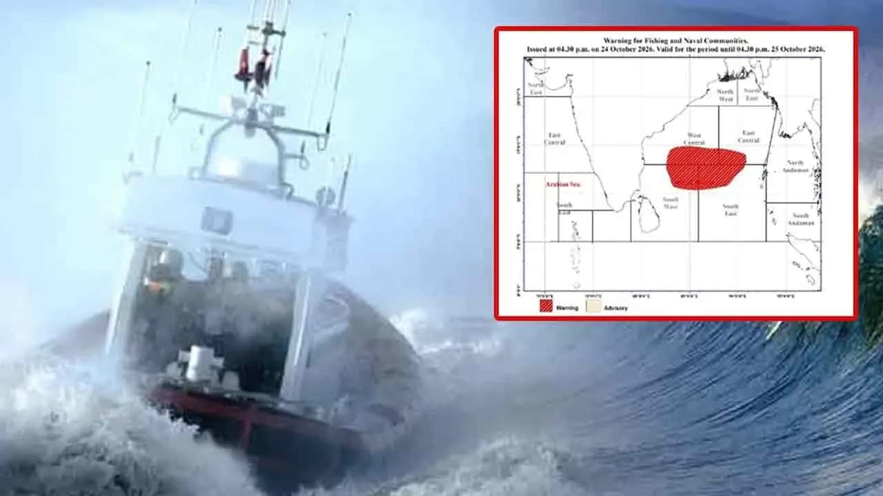
Wind speeds may occasionally increase to 50–60 kmph in the sea areas off the coast from Hambantota to Pottuvil and from Kankesanturai to Puttalam via Mannar.
These sea areas may also become rough at times, according to the Met. Department.
Meanwhile, sea waves in the areas off the coast from Puttalam to Colombo, Galle and Matara and up to Pottuvil could rise to around 2.0–2.5 meters.