








The Department of Meteorology states that an increase in rainfall across the island during the upcoming months of October and November could increase the risk of flooding due to the strengthening El Niño conditions.
The primary factors contributing to this situation are the intensifying El Niño phenomenon in the Pacific Ocean and the expected activation of the Bay of Bengal region, it said.
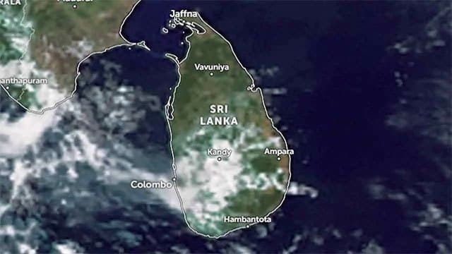
According to current meteorological data, rainy weather is expected in the southwestern parts of the island over the next few days. Furthermore, areas that have experienced dry weather are likely to receive increased thundershowers towards the end of this month, particularly around September 28 and 29.
Today, rainy conditions are expected at times in the Western and Sabaragamuwa provinces, as well as in the Galle, Matara, Kandy, and Nuwara Eliya districts. After 2:00 p.m., scattered thundershowers may develop in the Uva Province and in the Batticaloa and Ampara districts.
Meanwhile, wind speeds in the sea areas extending from Kankesanthurai to Puttalam and from Matara to Pottuvil could increase to 50–55 km/h, resulting in fairly rough seas. Sea waves between Chilaw and Pottuvil may rise to heights of 2–3 metres, while coastal areas extending from Beruwala to Matara face a risk of sea surges moving inland.
Meteorologist Malith Fernando has urged naval, fishing, and coastal communities to remain vigilant regarding these conditions.