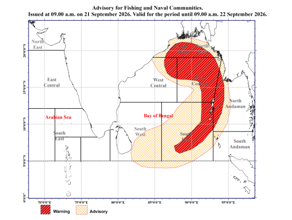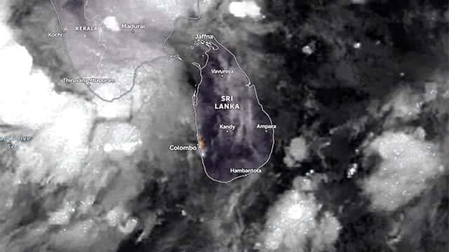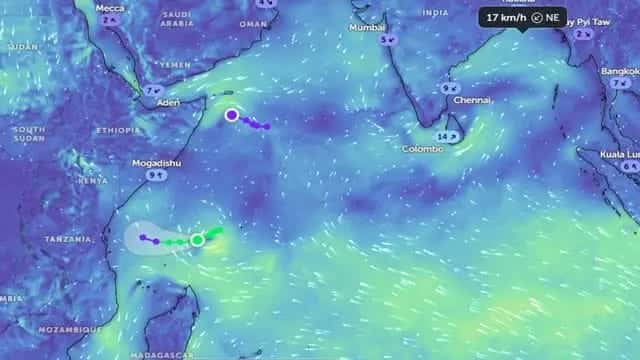







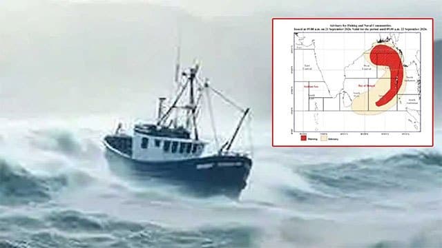


The Department of Meteorology has issued a Red Warning for strong winds and rough seas for multi-day boats operating in the deep-sea areas of the Bay of Bengal.
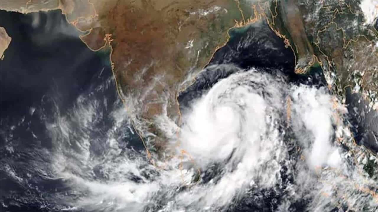
The low-pressure area over the east-central Bay of Bengal is very likely to move west-northwestwards and gradually intensify into a depression over the east-central Bay of Bengal on September 21, and into a deep depression over the west-central Bay of Bengal on September 22.
Continuing to move west-northwestwards, the system is very likely to reach the west-central and adjoining northwest Bay of Bengal, near the north Andhra Pradesh–south Odisha coasts, around 0000 UTC on September 23, according to the Department of Meteorology.
Wind speeds in the sea areas marked under the “Advisory” category on the map are expected to increase to 55–65 kmph at times, with rough to very rough seas expected in those areas.
Wind speeds in the sea areas marked under the “Warning” category may increase to 70 kmph at times. Heavy thundershowers may also occur, causing sea conditions to become very rough.
Naval and fishing communities are advised not to venture into these sea areas until further notice.
Those already operating in the affected sea areas are advised to move away from them.
Naval and fishing communities engaged in activities in these areas are further advised to remain vigilant and closely monitor future forecasts and bulletins issued by the Department of Meteorology.